Organizing the Information!
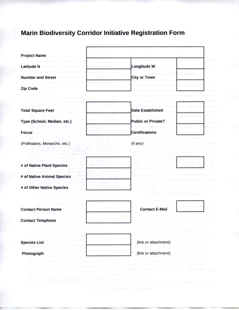
A major goal of MBCI is to bring all of the information about the different projects in the corridor together in a Geographical Information System (GIS) that will allow people to see the collective impact of all of the projects as well as details of specific projects. The GIS will also allow for preparation of various graphical presentations in the form of maps.
This will be similar to what Doug Tallamy has started with the Homegrown National Park project, but it will be finer-grained and specific to Marin.
To see information about Homegrown National Park, visit:https://homegrownnationalpark.org/
An intake or registration form has been prepared for the GIS:

